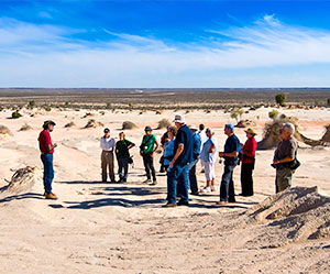
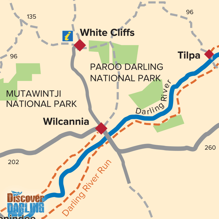
One of the newer parks, The Paroo-Darling National Park is split into two regions covering the Paroo River and Peery Lake in the north and Wilga Station on the Darling River in the south of the Park near Wilcannia. Peery Lake is a haven for water birds and when full (as it is currently) will contain water for several years. Wilga Station provides some of the best camping along the whole of the Darling River.
 The northern section of the park, near White Cliffs, is developing a day use area while the southern section covers the old Wilga Station and incorporates one of the best camping areas along the Darling River – Coach and Horses campground which is 50km east of Wilcannia
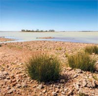
Perry Lake is a haven for water birds and when full (as it is currently) will contain water for several years.
The Paroo River is the only unregulated rivers within the Murray Darling Basin and sustains wonderfully diverse ecosystem.
Camping (no fires) is available at the Coach and Horses campground while the northern section provides day use facilities only.
Access to the park is via a dry weather road.
To get to the Peery section of Paroo-Darling National Park:
To get to the Wilga section of Paroo-Darling National Park:
For more information on Paroo-Darling National Park – GPS:-30.906938* 144.04449*